Description
Double-sided full colour map.
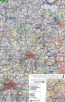
Side A has three maps, a large map showing the German and Soviet positions along the Oder Front on 15 April 1945 and two smaller maps, one showing German units moving into and through Berlin, the other showing German attempts to break out of Berlin.
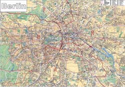
Side B is a very detailed full-colour map of Berlin and surrounding area which also shows all important objectives and buildings as well as the occupation zones after the war.
Map sheet measures 36″ x 24″ (91 cm x 60 cm)
For those who love maps here is a bonus offer: If you have already purchased Between the Oder and the Elbe book and you need an extra map or maps (for whatever reason) your cost is $10 per map plus postage. If you have not previously purchased the book but just want the map the cost is $12 per map plus postage. Please note that if you are ordering this map with other books, there is no shipping cost for the map.

